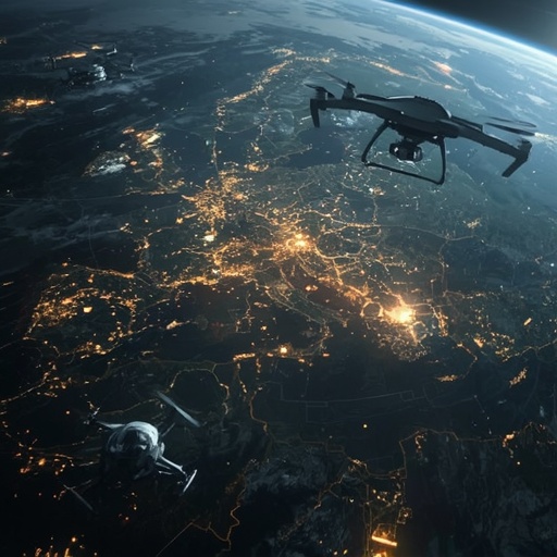
Across the evolving landscape of modern warfare, information has become as strategic and decisive as weaponry itself. The ability to capture, process, and distribute actionable intelligence in real time is reshaping how nations plan and execute military operations. Nowhere is this transformation more evident than in Ukraine, where commercial satellite technology has emerged as a vital catalyst for operational precision and speed. What was once the exclusive domain of government defense agencies is now increasingly accessible to allied forces on the ground, thanks to a growing ecosystem of private geospatial enterprises capable of delivering high-resolution satellite imagery within moments of capture.
This immediate accessibility to space-based data enables Ukrainian troops to make faster and more informed tactical decisions, bridging the gap between observation and action with remarkable efficiency. Soldiers no longer need to rely solely on delayed reports or traditional reconnaissance methods. Instead, data derived from orbiting constellations of satellites now appears directly on digital devices in the field, creating a real-time feedback loop between intelligence analysis and combat execution. This continuous data stream allows forces to identify enemy positions, monitor troop movements, and coordinate precision strikes with extraordinary accuracy, dramatically enhancing both situational awareness and strategic response.
The integration of such technologies represents a profound paradigm shift—what defense analysts refer to as the ‘sensor-to-shooter’ revolution. In practical terms, it transforms raw spatial data into immediate tactical advantage, compressing the entire intelligence cycle from hours or days into mere seconds. This means that a satellite image captured above a conflict zone can be analyzed, verified, and acted upon almost instantaneously. Commanders can then translate that intelligence into decisive maneuvers, reducing uncertainty and minimizing collateral damage while amplifying combat effectiveness.
Furthermore, this democratization of geospatial intelligence exemplifies how commercial innovation is influencing the defense landscape. As private satellite companies continue to expand their fleets and enhance image resolution, the boundary between civilian technology and military application grows increasingly porous. The results are tangible: improved collaboration, faster decision-making, and a more adaptive, data-driven approach to warfare. The conflict in Ukraine illustrates this evolution in real time, showcasing how the fusion of technological infrastructure, digital networks, and human judgment can redefine the tempo and precision of modern combat.
Ultimately, what we are witnessing is not merely the enhancement of existing military strategies but the emergence of a fundamentally new doctrine—one in which orbital data, artificial intelligence, and instant communication converge to form an interconnected system of continuous observation and execution. Space-based intelligence is no longer a supplementary tool; it has become a core element of modern defense strategy. This convergence signals a future where digital superiority on the battlefield will depend as much on the mastery of information as on traditional force projection. In Ukraine, that future is already unfolding before our eyes, offering a glimpse into how real-time satellite intelligence is reshaping the very nature of warfare in the twenty-first century.
Sourse: https://www.wsj.com/world/europe/real-time-satellite-intel-is-making-ukraines-drone-strikes-deadlier-than-ever-8c2c909c?mod=rss_Technology